KERALA STATE - PROFILE
Kerala State is situated between 8°18' and 12°48' N latitude and 74°52' and 77°22' E longitude with a geographical area of 38,864 km2. It lies along the coastline, to the extreme south west of the Indian peninsula, flanked by the Lakshadweep Sea on the west and the mountains of the Western Ghats on the east. The land stretches north-south along a coastline of 580 km with a varying width of 35 to 120 km. The nature of the terrain and its physical features, divides an east west cross section of the state into three distinct regions.
Physiography
The State is characterized by a combination of distinct altitudinal variations resulting from the rise of the land mass from 5 m below sea level in the west to the soaring heights of 2695 m in the East. Three distinct parallel physiographic zones are identified:
- Low land (below 7.5 m msl)
- Mid land (between 7.5 m and 75 m msl)
- High land (above 75 m msl)
Out of the total geographical area of the state, 10.2 %
constitutes low land regions, 41.8 % mid land regions and 48 %
high land regions. The coastal low land is identified with
alluvial plains, sandy stretches, abraded platforms, beach
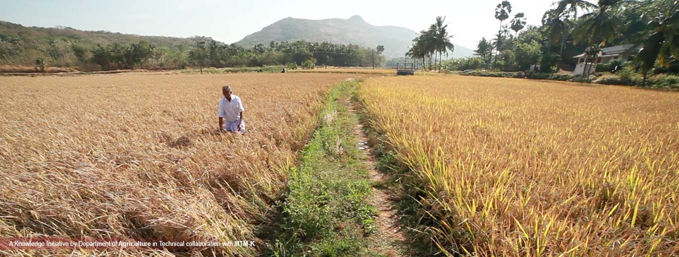
ridges, raised beaches, lagoons and estuaries. Extensive paddy
fields, thick groves of coconut trees and backwaters,
interconnected with canals and rivers, are the features of this
region.
Kuttanad and Kole lands lying in this region are located
below the sea level. In the mid land plains of central region,
the hills are not very steep and the valleys are wide. This
forms an area of gently undulating topography with hillocks and
mounds. Laterite capping is commonly noticeable on the top of
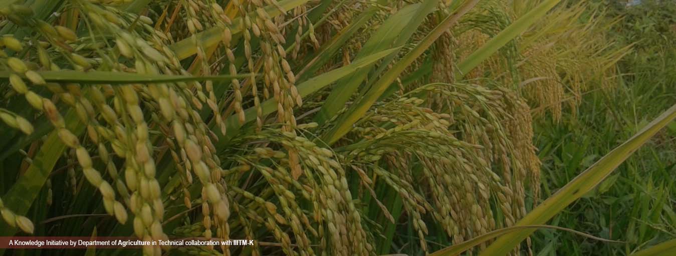
these hillocks. The valleys have been developed as paddy fields
or elas of Kerala with stream flowing through the valleys.
The
ribbon valleys of the laterite terrain represents the elas of
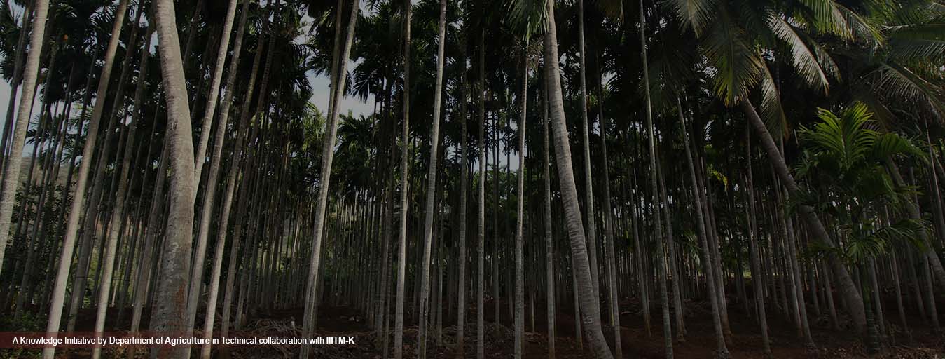
the mid lands where rice is the dominant crop. The adjoining
hill slopes have plantations of rubber, fruit trees and other
cash crops like pepper, arecanut and tapioca. The high lands
include the steeply sloping areas of the western ghats and are
mainly under forest. Tea, coffee and cardamom plantations are
also located in these areas.
There are 44 rivers in
the state, of which 41 originate from the Western Ghats and flow
towards west into the Lakshadweep Sea . Only three tributaries
of the river Cauvery originate in Kerala and flow east into the
neighbouring States. These rivers and streams flowing down from
the Western Ghats either empty themselves in to the backwaters
in the coastal area or directly into the Lakshadweep Sea.
Geology
Geologically Kerala has four major rock formations namely crystalline rocks of Precambrian age, sedimentary rocks of Tertiary, laterites capping crystalline and sedimentary rocks and recent and sub recent sediments forming the low lying areas and river valleys. The varied rock formations under different geological domains harbor different mineral deposits and the transformed rock strata have copious ground water resources.
Climate
Located in the humid tropics with high rainfall distributed in to
2 monsoon seasons, viz. South west monsoon (June to September) and
North east monsoon (October to November) of which South west
monsoon is more predominant. About 85% of the annual rainfall
receives during the monsoon period between June and November (70%
during South west and 15% during the North east monsoon) and the
remaining 15% only during the non-monsoon period between December
and May as summer showers
The rainfall received in the
state from 2007 to 2016 is presented in Figure 1. During this
period the highest rainfall (3527 mm) was recorded in 2007. The
mean annual rainfall for the last 10 years (2007-2016) is 2790 mm.
However, in 2016 the annual rainfall was only 1885 mm.
Contact Us
+ 91 471 2527567, + 91 471 2700777
© 2019 | System conceived,designed and implemented by IIITMK